Local area guide
Living in Ripley
Around Coppice Heights by Bellway · Derbyshire
The schools, transport, shops and green spaces that shape day-to-day life — plus local trades who already work in Ripley.
Area at a glance
Ripley, at a glance
Schools, transport, what’s nearby — written for new-build buyers settling in.
Auto-generated from development data. A fuller Ripley guide is in preparation.
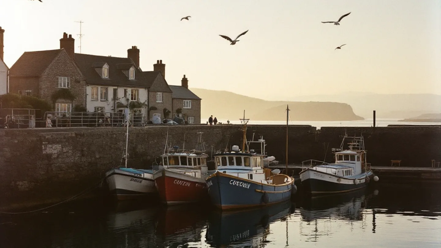
Ripley combines historic market town charm with modern convenience, making it ideal for families and commuters. The town centre features independent shops, cafes, and the popular Ripley Market every Thursday and Saturday. For daily shopping, ASDA and smaller convenience stores serve residents well. Education options include Ripley Infant School and Ripley Junior School, both rated Good by Ofsted, while secondary pupils typically attend Alfreton Grange Arts College. Transport links are excellent, with Ripley just off the A610, providing easy access to Nottingham (15 miles) and Derby (12 miles). The nearby Butterley railway station connects to regional services. For recreation, families enjoy Shipley Country Park with its walking trails and visitor centre, plus numerous traditional pubs including The Talbot Inn serving hearty meals.

Nearby essentials
What’s within reach
Straight-line distance from Coppice Heights to the nearest of each.
Nearest supermarket
Central Co-op Food & Cafe - Derby Road, Ripley
0.7mi
straight line
Nearest GP surgery
Dr V Bradley - Jessop Medical Practice
0.2mi
straight line
Nearest primary school
Waingroves Primary School
0.5mi
straight line
Nearest train station
Hammersmith Railway Station
1.6mi
straight line
Town centre
Ripley
0.3mi
straight line
Local trades
Already working near Ripley
Finishing trades whose coverage area includes Coppice Heights.